The north-west span of Barnes Bridge
Introduction
The photograph on this page of The north-west span of Barnes Bridge by Stefan Czapski as part of the Geograph project.
The Geograph project started in 2005 with the aim of publishing, organising and preserving representative images for every square kilometre of Great Britain, Ireland and the Isle of Man.

There are currently over 7.5m images from over 14,400 individuals and you can help contribute to the project by visiting https://www.geograph.org.uk
The north-west span of Barnes Bridge
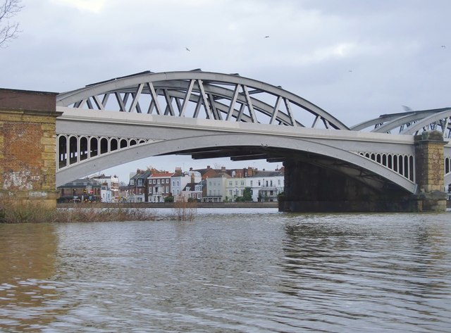
Image: © Stefan Czapski Taken: 30 Dec 2012
On the far bank, Barnes Terrace and a glimpse of the High Street, where it reaches the riverbank. I don't know what the tide-table predicted, but high water on this late December afternoon was very high indeed.
Images are licensed for reuse under creativecommons.org/licenses/by-sa/2.0
Image Location
Latitude
51.473254
Longitude
-0.251863