Cattle Pens
Introduction
The photograph on this page of Cattle Pens by michael ely as part of the Geograph project.
The Geograph project started in 2005 with the aim of publishing, organising and preserving representative images for every square kilometre of Great Britain, Ireland and the Isle of Man.

There are currently over 7.5m images from over 14,400 individuals and you can help contribute to the project by visiting https://www.geograph.org.uk
Cattle Pens
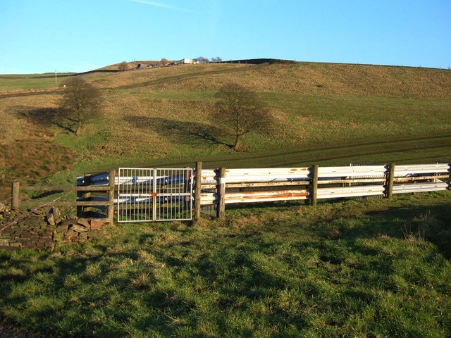
Image: © michael ely Taken: 3 Feb 2007
Situated on the Crompton Circuit where it crosses Higher Park. The farm at Slences can be seen on the skyline. The Crompton Circuit is an 11-mile walk around the town of Shaw.
Images are licensed for reuse under creativecommons.org/licenses/by-sa/2.0
Image Location


Leaflet Map data © OpenStreetMap
Latitude
53.5924
Longitude
-2.081545