Former South Manchester Synagogue
Introduction
The photograph on this page of Former South Manchester Synagogue by Bill Boaden as part of the Geograph project.
The Geograph project started in 2005 with the aim of publishing, organising and preserving representative images for every square kilometre of Great Britain, Ireland and the Isle of Man.

There are currently over 7.5m images from over 14,400 individuals and you can help contribute to the project by visiting https://www.geograph.org.uk
Former South Manchester Synagogue
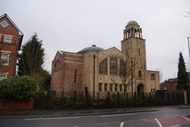
Image: © Bill Boaden Taken: 27 Dec 2012
This is a Grade II listed building completed in 1913. The South Manchester Synagogue has relocated to Bowdon, but plans are in hand to develop this as an educational centre.
Images are licensed for reuse under creativecommons.org/licenses/by-sa/2.0
Image Location
Latitude
53.442475
Longitude
-2.221567