Coventry Canal overflow east of Polesworth
Introduction
The photograph on this page of Coventry Canal overflow east of Polesworth by Robin Stott as part of the Geograph project.
The Geograph project started in 2005 with the aim of publishing, organising and preserving representative images for every square kilometre of Great Britain, Ireland and the Isle of Man.

There are currently over 7.5m images from over 14,400 individuals and you can help contribute to the project by visiting https://www.geograph.org.uk
Coventry Canal overflow east of Polesworth
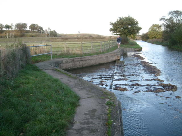
Image: © Robin Stott Taken: 2 Nov 2012
The channel heads west to join the River Anker. In the background is the West Coast main line and Stiper's Hill, left. A lone runner returns to the village at the end of a cold November afternoon.
Images are licensed for reuse under creativecommons.org/licenses/by-sa/2.0
Image Location
Latitude
52.616462
Longitude
-1.604863