The Road to Carcluie Toll
Introduction
The photograph on this page of The Road to Carcluie Toll by Mary and Angus Hogg as part of the Geograph project.
The Geograph project started in 2005 with the aim of publishing, organising and preserving representative images for every square kilometre of Great Britain, Ireland and the Isle of Man.

There are currently over 7.5m images from over 14,400 individuals and you can help contribute to the project by visiting https://www.geograph.org.uk
The Road to Carcluie Toll
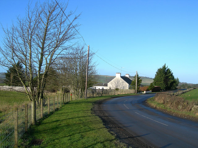
Image: © Mary and Angus Hogg Taken: 2 Feb 2007
The B7034 near the Water Works at Dalrymple.
Images are licensed for reuse under creativecommons.org/licenses/by-sa/2.0
Image Location
Latitude
55.402458
Longitude
-4.602592