Footpath beside the Auldhouse Burn
Introduction
The photograph on this page of Footpath beside the Auldhouse Burn by Alec MacKinnon as part of the Geograph project.
The Geograph project started in 2005 with the aim of publishing, organising and preserving representative images for every square kilometre of Great Britain, Ireland and the Isle of Man.

There are currently over 7.5m images from over 14,400 individuals and you can help contribute to the project by visiting https://www.geograph.org.uk
Footpath beside the Auldhouse Burn
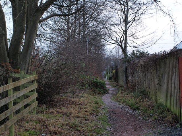
Image: © Alec MacKinnon Taken: 31 Dec 2012
The footpath, seen here from where it crosses Douglas Avenue, runs north-south along the side of the Auldhouse Burn. This picture looks south.
Images are licensed for reuse under creativecommons.org/licenses/by-sa/2.0
Image Location
Latitude
55.797765
Longitude
-4.291771