Straight Footpath Between Two Grimsargh Reservoirs
Introduction
The photograph on this page of Straight Footpath Between Two Grimsargh Reservoirs by Rude Health as part of the Geograph project.
The Geograph project started in 2005 with the aim of publishing, organising and preserving representative images for every square kilometre of Great Britain, Ireland and the Isle of Man.

There are currently over 7.5m images from over 14,400 individuals and you can help contribute to the project by visiting https://www.geograph.org.uk
Straight Footpath Between Two Grimsargh Reservoirs
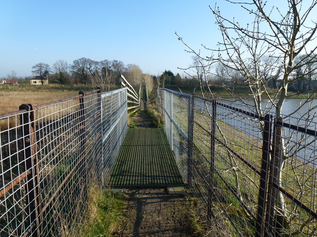
Image: © Rude Health Taken: 28 Mar 2012
The three Grimsargh reservoirs have always been good for wildlife. But now there will be even more plants, animals and birds using them. United Utilities have drained one reservoir, left another half full, and the third remains near to its original level. So this footpath goes between the easterly drained reservoir and the middle partially drained reservoir.
Images are licensed for reuse under creativecommons.org/licenses/by-sa/2.0
Image Location
Latitude
53.806624
Longitude
-2.620877