Wilbraham Road
Introduction
The photograph on this page of Wilbraham Road by Bill Boaden as part of the Geograph project.
The Geograph project started in 2005 with the aim of publishing, organising and preserving representative images for every square kilometre of Great Britain, Ireland and the Isle of Man.

There are currently over 7.5m images from over 14,400 individuals and you can help contribute to the project by visiting https://www.geograph.org.uk
Wilbraham Road
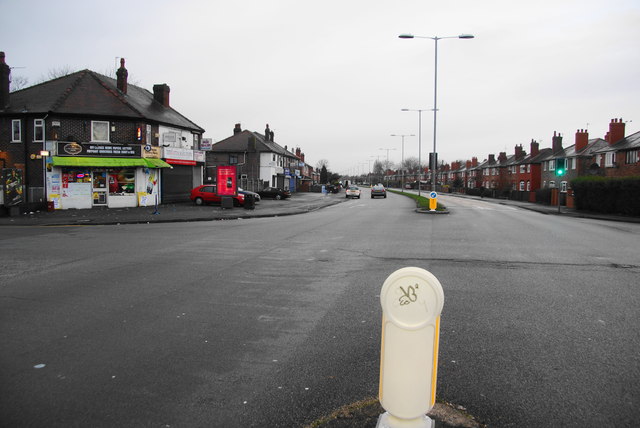
Image: © Bill Boaden Taken: 27 Dec 2012
An important east/west route traversing South Manchester, the A6010, seen here at its junction with Yew Tree Road.
Images are licensed for reuse under creativecommons.org/licenses/by-sa/2.0
Image Location
Latitude
53.443623
Longitude
-2.232262