St Stephen's Road, Canterbury
Introduction
The photograph on this page of St Stephen's Road, Canterbury by Richard Vince as part of the Geograph project.
The Geograph project started in 2005 with the aim of publishing, organising and preserving representative images for every square kilometre of Great Britain, Ireland and the Isle of Man.

There are currently over 7.5m images from over 14,400 individuals and you can help contribute to the project by visiting https://www.geograph.org.uk
St Stephen's Road, Canterbury
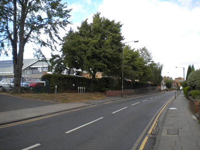
Image: © Richard Vince Taken: 25 Aug 2012
Once past the recreation centre visible on the left, St Stephen's Road becomes distinctly more suburban as it heads north away from Canterbury city centre.
Images are licensed for reuse under creativecommons.org/licenses/by-sa/2.0
Image Location
Latitude
51.284997
Longitude
1.080056