View from Woad Hill
Introduction
The photograph on this page of View from Woad Hill by Michael Trolove as part of the Geograph project.
The Geograph project started in 2005 with the aim of publishing, organising and preserving representative images for every square kilometre of Great Britain, Ireland and the Isle of Man.

There are currently over 7.5m images from over 14,400 individuals and you can help contribute to the project by visiting https://www.geograph.org.uk
View from Woad Hill
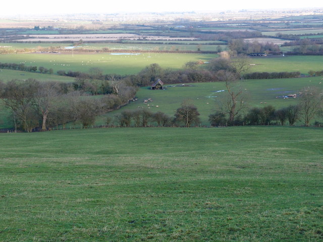
Image: © Michael Trolove Taken: 30 Dec 2012
The pasture land of Buckinghamshire on the north side of Woad Hill and Quainton Hill with a redundant farm building in the distance. What the photo doesn't show is the saturated ground underfoot even on a fairly steep hillside.
Images are licensed for reuse under creativecommons.org/licenses/by-sa/2.0
Image Location


Leaflet Map data © OpenStreetMap
Latitude
51.890171
Longitude
-0.902153