St Peter & St Paul Parish Church and Church Street
Introduction
The photograph on this page of St Peter & St Paul Parish Church and Church Street by Matthew Hatton as part of the Geograph project.
The Geograph project started in 2005 with the aim of publishing, organising and preserving representative images for every square kilometre of Great Britain, Ireland and the Isle of Man.

There are currently over 7.5m images from over 14,400 individuals and you can help contribute to the project by visiting https://www.geograph.org.uk
St Peter & St Paul Parish Church and Church Street
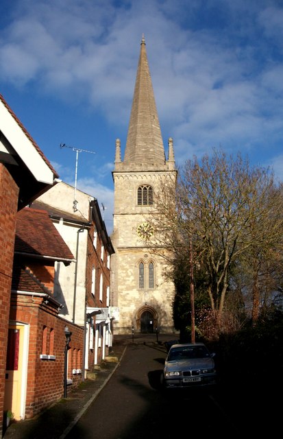
Image: © Matthew Hatton Taken: 21 Dec 2012
The Danish Vikings conquered the North of England and attacked southern England many times. King Edward, son of Alfred the Great, came to Buckingham about 915 and built a fort on Castle Hill. There was also a short lived wooden castle erected in 1215 and torn down again after about 30 years. This site is now covered by the Parish Church. The foundation stone for the new church was laid by Robert Bartlett, bailiff of Buckingham, on 25 November 1777.
Images are licensed for reuse under creativecommons.org/licenses/by-sa/2.0
Image Location
Latitude
51.997859
Longitude
-0.989685