Looking up Hart Hill from Frost Lane
Introduction
The photograph on this page of Looking up Hart Hill from Frost Lane by Gillian Thomas as part of the Geograph project.
The Geograph project started in 2005 with the aim of publishing, organising and preserving representative images for every square kilometre of Great Britain, Ireland and the Isle of Man.

There are currently over 7.5m images from over 14,400 individuals and you can help contribute to the project by visiting https://www.geograph.org.uk
Looking up Hart Hill from Frost Lane
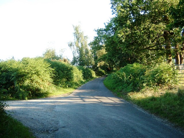
Image: © Gillian Thomas Taken: 16 Jul 2006
Continue up here for 100 yards and you come across a pub. This is part of the Solent Way Footpath. The road to the left leads to the site of the "old" Furzedown Farm
Images are licensed for reuse under creativecommons.org/licenses/by-sa/2.0
Image Location
Latitude
50.858036
Longitude
-1.389594