St Breock Beacon
Introduction
The photograph on this page of St Breock Beacon by Rude Health as part of the Geograph project.
The Geograph project started in 2005 with the aim of publishing, organising and preserving representative images for every square kilometre of Great Britain, Ireland and the Isle of Man.

There are currently over 7.5m images from over 14,400 individuals and you can help contribute to the project by visiting https://www.geograph.org.uk
St Breock Beacon
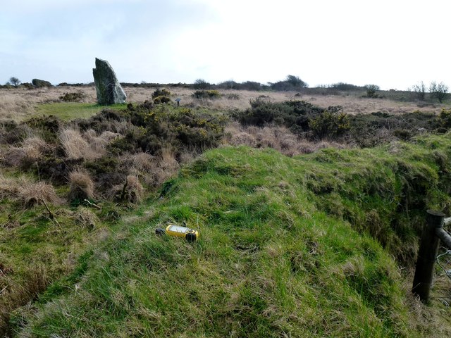
Image: © Rude Health Taken: 11 Mar 2012
Grass beside the Longstone is highest natural point as grassed ancient field boundary is man made. Name: St Breock Beacon Hill number: 7790 Height: 216m / 709ft Area: 40: Cornwall & Devon Class: sHu Grid ref: SW967682 (est) Drop: 95m Col: 121m SW942654
Images are licensed for reuse under creativecommons.org/licenses/by-sa/2.0
Image Location
Latitude
50.479188
Longitude
-4.866103