Hales Pasture
Introduction
The photograph on this page of Hales Pasture by Marcus Hargis as part of the Geograph project.
The Geograph project started in 2005 with the aim of publishing, organising and preserving representative images for every square kilometre of Great Britain, Ireland and the Isle of Man.

There are currently over 7.5m images from over 14,400 individuals and you can help contribute to the project by visiting https://www.geograph.org.uk
Hales Pasture
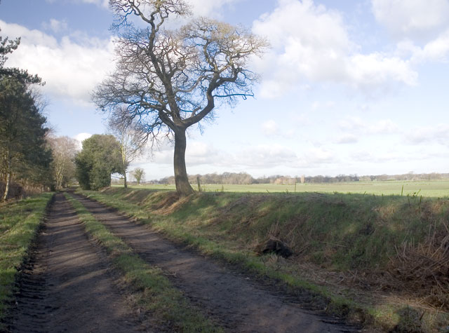
Image: © Marcus Hargis Taken: 2 Feb 2007
Taken on the public footpath with a field known as Hales Pasture to the right of the image and to the left, out of view and surrounded by private woodlands, is a small lake.
Images are licensed for reuse under creativecommons.org/licenses/by-sa/2.0
Image Location
Latitude
53.234203
Longitude
-2.368508