Still DEFRA No Go Areas In Devon.
Introduction
The photograph on this page of Still DEFRA No Go Areas In Devon. by Rude Health as part of the Geograph project.
The Geograph project started in 2005 with the aim of publishing, organising and preserving representative images for every square kilometre of Great Britain, Ireland and the Isle of Man.

There are currently over 7.5m images from over 14,400 individuals and you can help contribute to the project by visiting https://www.geograph.org.uk
Still DEFRA No Go Areas In Devon.
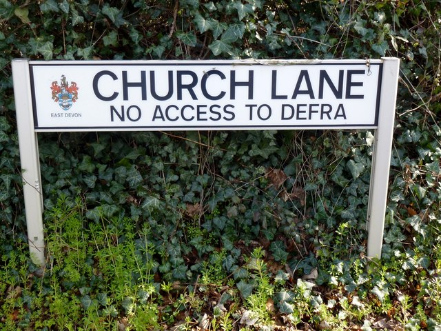
Image: © Rude Health Taken: 23 Mar 2012
Sign spotted on my lunchtime walk from Clyst House after 5 hours stuck in the office this morning writing up TB Disease Report Forms. During 2001 The Labour Party renamed MAFF as DEFRA. During FMD outbreak in Cumbria, farmers thought DEFRA = Don't Ever F....... Ring Again. Oops. Always carry your camera with you.
Images are licensed for reuse under creativecommons.org/licenses/by-sa/2.0
Image Location
Latitude
50.708654
Longitude
-3.447078