Failand Hill
Introduction
The photograph on this page of Failand Hill by Rude Health as part of the Geograph project.
The Geograph project started in 2005 with the aim of publishing, organising and preserving representative images for every square kilometre of Great Britain, Ireland and the Isle of Man.

There are currently over 7.5m images from over 14,400 individuals and you can help contribute to the project by visiting https://www.geograph.org.uk
Failand Hill
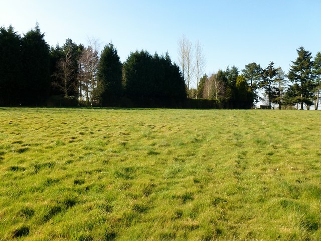
Image: © Rude Health Taken: 26 Mar 2012
Parked on Horse Race Hill walked through gate to edge of garden. Flattish boring summit of Failand Hill. Field empty today. Name: Failand Hill Hill number: 5430 Height: 164m / 538ft Area: 41: South Central England Class: Hu Grid ref: ST510722 (est) Drop: 116m Col: 48m ST536697
Images are licensed for reuse under creativecommons.org/licenses/by-sa/2.0
Image Location
Latitude
51.446661
Longitude
-2.705753