Cycle /foot path, Walker
Introduction
The photograph on this page of Cycle /foot path, Walker by Richard Webb as part of the Geograph project.
The Geograph project started in 2005 with the aim of publishing, organising and preserving representative images for every square kilometre of Great Britain, Ireland and the Isle of Man.

There are currently over 7.5m images from over 14,400 individuals and you can help contribute to the project by visiting https://www.geograph.org.uk
Cycle /foot path, Walker
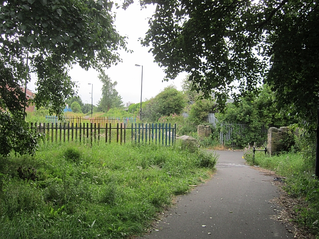
Image: © Richard Webb Taken: 31 Jul 2012
The path along Hadrian's Wall run southwards along the Tyne towards Newcastle city centre. Here it uses an old Riverside Branch railway trackbed.
Images are licensed for reuse under creativecommons.org/licenses/by-sa/2.0
Image Location
Latitude
54.976037
Longitude
-1.538936