Heol Newydd, Cefn Cribwr
Introduction
The photograph on this page of Heol Newydd, Cefn Cribwr by Jaggery as part of the Geograph project.
The Geograph project started in 2005 with the aim of publishing, organising and preserving representative images for every square kilometre of Great Britain, Ireland and the Isle of Man.

There are currently over 7.5m images from over 14,400 individuals and you can help contribute to the project by visiting https://www.geograph.org.uk
Heol Newydd, Cefn Cribwr
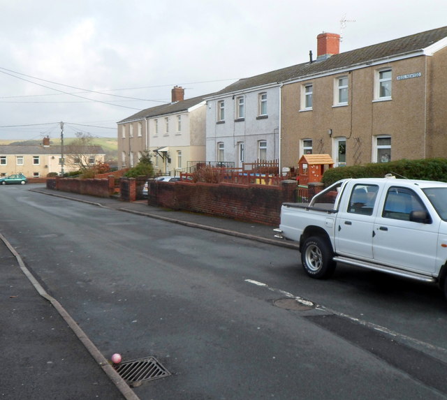
Image: © Jaggery Taken: 7 Dec 2012
Viewed from the corner of the B4281 Cefn Road, the main road through the village. The distant houses are in East Avenue and West Avenue, which with Heol Newydd make up a T-shaped area of houses, with Heol Newydd as the stem of the T.
Images are licensed for reuse under creativecommons.org/licenses/by-sa/2.0
Image Location
Latitude
51.532576
Longitude
-3.650252