Pack Saddles Bridge
Introduction
The photograph on this page of Pack Saddles Bridge by John H Darch as part of the Geograph project.
The Geograph project started in 2005 with the aim of publishing, organising and preserving representative images for every square kilometre of Great Britain, Ireland and the Isle of Man.

There are currently over 7.5m images from over 14,400 individuals and you can help contribute to the project by visiting https://www.geograph.org.uk
Pack Saddles Bridge
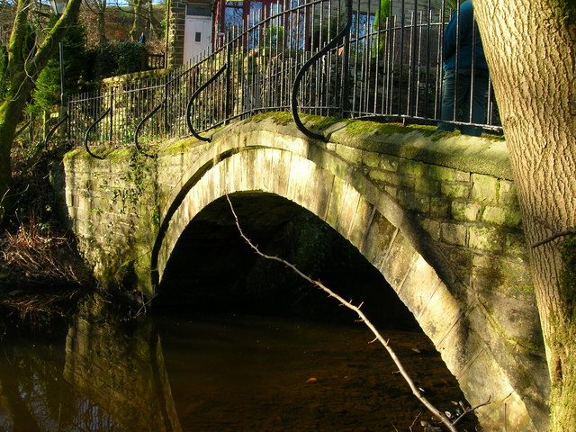
Image: © John H Darch Taken: 2 Feb 2007
Pack Saddles Bridge today functions as a footbridge carrying the Witton Weavers Way over Bradshaw Brook. As its name suggests, however, it has a long history and dates from the late 17th century.
Images are licensed for reuse under creativecommons.org/licenses/by-sa/2.0
Image Location
Latitude
53.637156
Longitude
-2.397875