Thorpe Gates
Introduction
The photograph on this page of Thorpe Gates by Jonathan Thacker as part of the Geograph project.
The Geograph project started in 2005 with the aim of publishing, organising and preserving representative images for every square kilometre of Great Britain, Ireland and the Isle of Man.

There are currently over 7.5m images from over 14,400 individuals and you can help contribute to the project by visiting https://www.geograph.org.uk
Thorpe Gates
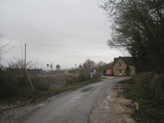
Image: © Jonathan Thacker Taken: 28 Dec 2012
A level crossing on the Shaftholme Junction to Knottingley line. This scene will change considerably over the coming months. A new railway viaduct linking this line to that from Hatfield and Stainforth to Joan Croft Junction will cut across the left of the picture. The railway here was built by the Lancashire and Yorkshire Railway and opened in 1848. It closed to regular passenger services in 1947 but remains as a well-used freight line.
Images are licensed for reuse under creativecommons.org/licenses/by-sa/2.0
Image Location
Latitude
53.587342
Longitude
-1.124851