Dunoon from Inverkip
Introduction
The photograph on this page of Dunoon from Inverkip by Thomas Nugent as part of the Geograph project.
The Geograph project started in 2005 with the aim of publishing, organising and preserving representative images for every square kilometre of Great Britain, Ireland and the Isle of Man.

There are currently over 7.5m images from over 14,400 individuals and you can help contribute to the project by visiting https://www.geograph.org.uk
Dunoon from Inverkip
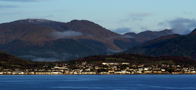
Image: © Thomas Nugent Taken: 26 Dec 2012
Dunoon Grammar School and Cowal Golf Club are visible on the hill in this view from the recently felled Berfern Plantation.
Images are licensed for reuse under creativecommons.org/licenses/by-sa/2.0
Image Location
Latitude
55.955751
Longitude
-4.924814