Bekesbourne Tower
Introduction
The photograph on this page of Bekesbourne Tower by Ian Capper as part of the Geograph project.
The Geograph project started in 2005 with the aim of publishing, organising and preserving representative images for every square kilometre of Great Britain, Ireland and the Isle of Man.

There are currently over 7.5m images from over 14,400 individuals and you can help contribute to the project by visiting https://www.geograph.org.uk
Bekesbourne Tower
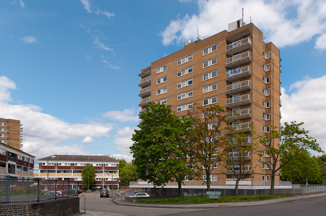
Image: © Ian Capper Taken: 16 May 2012
One of three tower blocks on the Ramsden Estate. (Part of another, Hollingbourne Tower, can be seen on the left of the photo). Both were built in 1969-70.
Images are licensed for reuse under creativecommons.org/licenses/by-sa/2.0
Image Location
Latitude
51.37508
Longitude
0.123298