Lamberhurst Close
Introduction
The photograph on this page of Lamberhurst Close by Ian Capper as part of the Geograph project.
The Geograph project started in 2005 with the aim of publishing, organising and preserving representative images for every square kilometre of Great Britain, Ireland and the Isle of Man.

There are currently over 7.5m images from over 14,400 individuals and you can help contribute to the project by visiting https://www.geograph.org.uk
Lamberhurst Close
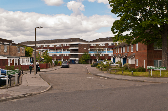
Image: © Ian Capper Taken: 16 May 2012
A cul de sac of 1980s housing off Eldred Drive. In the background is one of the blocks typical of the 1960s development of the Ramsden Estate, Peckham House.
Images are licensed for reuse under creativecommons.org/licenses/by-sa/2.0
Image Location
Latitude
51.374657
Longitude
0.121842