Llandeilo Primary School
Introduction
The photograph on this page of Llandeilo Primary School by Jaggery as part of the Geograph project.
The Geograph project started in 2005 with the aim of publishing, organising and preserving representative images for every square kilometre of Great Britain, Ireland and the Isle of Man.

There are currently over 7.5m images from over 14,400 individuals and you can help contribute to the project by visiting https://www.geograph.org.uk
Llandeilo Primary School
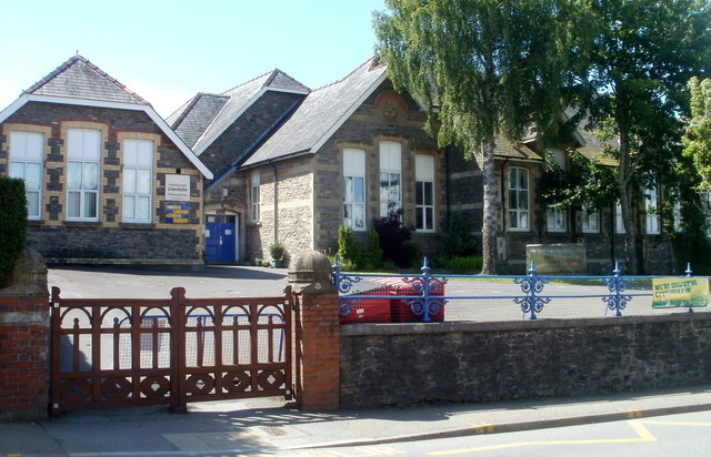
Image: © Jaggery Taken: 26 Jun 2011
The school is on the west side of Rhosmaen Street, north of the Heol-y-Garreglas junction. A Welsh medium school Ysgol Gymraeg Teilo Sant http://www.geograph.org.uk/photo/3273640 is out of shot on the right.
Images are licensed for reuse under creativecommons.org/licenses/by-sa/2.0
Image Location
Latitude
51.886904
Longitude
-3.990301