Public Bridleway BW1891
Introduction
The photograph on this page of Public Bridleway BW1891 by The Saunterer as part of the Geograph project.
The Geograph project started in 2005 with the aim of publishing, organising and preserving representative images for every square kilometre of Great Britain, Ireland and the Isle of Man.

There are currently over 7.5m images from over 14,400 individuals and you can help contribute to the project by visiting https://www.geograph.org.uk
Public Bridleway BW1891
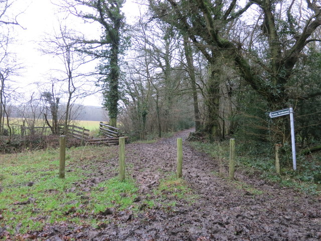
Image: © The Saunterer Taken: 26 Dec 2012
Off Dragon's Green Road. Very muddy after a Boxing Day Hunt had used it.
Images are licensed for reuse under creativecommons.org/licenses/by-sa/2.0
Image Location
Latitude
51.009371
Longitude
-0.373849