East of Elsfield
Introduction
The photograph on this page of East of Elsfield by David Luther Thomas as part of the Geograph project.
The Geograph project started in 2005 with the aim of publishing, organising and preserving representative images for every square kilometre of Great Britain, Ireland and the Isle of Man.

There are currently over 7.5m images from over 14,400 individuals and you can help contribute to the project by visiting https://www.geograph.org.uk
East of Elsfield
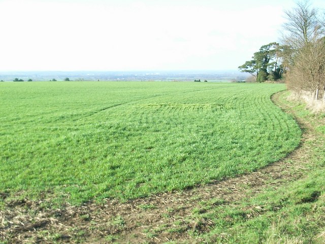
Image: © David Luther Thomas Taken: 2 Feb 2007
The road does a loop around this field, to North and East of Elsfield. It runs the other side of the hedge on the right and then across, below the brow of the hill, the tops of some of the trees in the hedge can just be seen.
Images are licensed for reuse under creativecommons.org/licenses/by-sa/2.0
Image Location
Latitude
51.791427
Longitude
-1.214111