Trummery Lane, Trummery
Introduction
The photograph on this page of Trummery Lane, Trummery by Kenneth Allen as part of the Geograph project.
The Geograph project started in 2005 with the aim of publishing, organising and preserving representative images for every square kilometre of Great Britain, Ireland and the Isle of Man.

There are currently over 7.5m images from over 14,400 individuals and you can help contribute to the project by visiting https://www.geograph.org.uk
Trummery Lane, Trummery
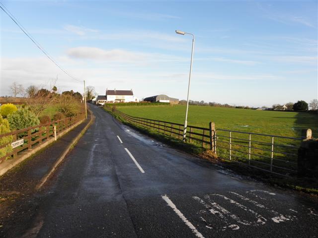
Image: © Kenneth Allen Taken: 25 Dec 2012
Heading NNE towards Maghaberry - it seem no matter which way you approach the village you have to go up a steep road
Images are licensed for reuse under creativecommons.org/licenses/by-sa/2.0
Image Location
Latitude
54.493464
Longitude
-6.194016