Farm buildings at Groes
Introduction
The photograph on this page of Farm buildings at Groes by Dot Potter as part of the Geograph project.
The Geograph project started in 2005 with the aim of publishing, organising and preserving representative images for every square kilometre of Great Britain, Ireland and the Isle of Man.

There are currently over 7.5m images from over 14,400 individuals and you can help contribute to the project by visiting https://www.geograph.org.uk
Farm buildings at Groes
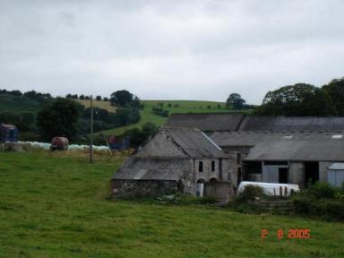
Image: © Dot Potter Taken: 2 Aug 2005
Farm buildings near the village of Groes off the A543
Images are licensed for reuse under creativecommons.org/licenses/by-sa/2.0
Image Location


Leaflet Map data © OpenStreetMap
Latitude
53.177456
Longitude
-3.475239