Laisterdyke
Introduction
The photograph on this page of Laisterdyke by Derek Harper as part of the Geograph project.
The Geograph project started in 2005 with the aim of publishing, organising and preserving representative images for every square kilometre of Great Britain, Ireland and the Isle of Man.

There are currently over 7.5m images from over 14,400 individuals and you can help contribute to the project by visiting https://www.geograph.org.uk
Laisterdyke
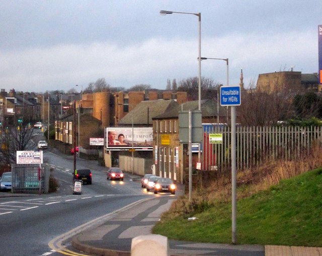
Image: © Derek Harper Taken: 21 Dec 2012
This is the A6177 Bradford ring road, seen from the junction with New Lane. In the dip, the road crosses the Bradford-Leeds railway line.
Images are licensed for reuse under creativecommons.org/licenses/by-sa/2.0
Image Location
Latitude
53.790824
Longitude
-1.718085