Ing Street, Laisterdyke
Introduction
The photograph on this page of Ing Street, Laisterdyke by Derek Harper as part of the Geograph project.
The Geograph project started in 2005 with the aim of publishing, organising and preserving representative images for every square kilometre of Great Britain, Ireland and the Isle of Man.

There are currently over 7.5m images from over 14,400 individuals and you can help contribute to the project by visiting https://www.geograph.org.uk
Ing Street, Laisterdyke
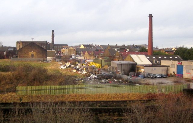
Image: © Derek Harper Taken: 21 Dec 2012
Mill chimneys and a former dairy, seen across the railway line from a hillock beside New Lane.
Images are licensed for reuse under creativecommons.org/licenses/by-sa/2.0
Image Location
Latitude
53.792708
Longitude
-1.716403