View from St Margaret's at Cliffe over arable land
Introduction
The photograph on this page of View from St Margaret's at Cliffe over arable land by John Baker as part of the Geograph project.
The Geograph project started in 2005 with the aim of publishing, organising and preserving representative images for every square kilometre of Great Britain, Ireland and the Isle of Man.

There are currently over 7.5m images from over 14,400 individuals and you can help contribute to the project by visiting https://www.geograph.org.uk
View from St Margaret's at Cliffe over arable land
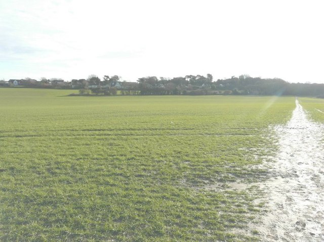
Image: © John Baker Taken: 21 Dec 2012
The line of trees in the middle ground is the Image but seen from the other side. On the right of the frame, a footpath runs in the direction of St Margaret's Bay.
Images are licensed for reuse under creativecommons.org/licenses/by-sa/2.0
Image Location
Latitude
51.148069
Longitude
1.374253