The Salisbury to Bristol Line
Introduction
The photograph on this page of The Salisbury to Bristol Line by Maigheach-gheal as part of the Geograph project.
The Geograph project started in 2005 with the aim of publishing, organising and preserving representative images for every square kilometre of Great Britain, Ireland and the Isle of Man.

There are currently over 7.5m images from over 14,400 individuals and you can help contribute to the project by visiting https://www.geograph.org.uk
The Salisbury to Bristol Line
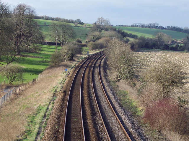
Image: © Maigheach-gheal Taken: 2 Feb 2007
In 1866 the railway came through the village of Little Langford, destroying much in its path. The original rectory was demolished along with two farmhouses. The old shape of the village - a tiny church surrounded by little cottages and two large farmhouses - was gone forever.
Images are licensed for reuse under creativecommons.org/licenses/by-sa/2.0
Image Location


Leaflet Map data © OpenStreetMap
Latitude
51.127761
Longitude
-1.933644