Moira gospel hall
Introduction
The photograph on this page of Moira gospel hall by Albert Bridge as part of the Geograph project.
The Geograph project started in 2005 with the aim of publishing, organising and preserving representative images for every square kilometre of Great Britain, Ireland and the Isle of Man.

There are currently over 7.5m images from over 14,400 individuals and you can help contribute to the project by visiting https://www.geograph.org.uk
Moira gospel hall
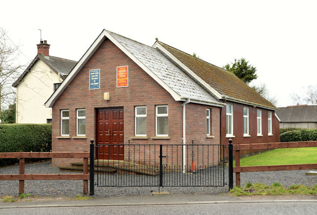
Image: © Albert Bridge Taken: 24 Dec 2012
Moira gospel hall, at the Main Street end of the Old Kilmore Road. It seems to date from 1930.
Images are licensed for reuse under creativecommons.org/licenses/by-sa/2.0
Image Location
Latitude
54.478675
Longitude
-6.232932