Track Near Trent Path Lane
Introduction
The photograph on this page of Track Near Trent Path Lane by Des Blenkinsopp as part of the Geograph project.
The Geograph project started in 2005 with the aim of publishing, organising and preserving representative images for every square kilometre of Great Britain, Ireland and the Isle of Man.

There are currently over 7.5m images from over 14,400 individuals and you can help contribute to the project by visiting https://www.geograph.org.uk
Track Near Trent Path Lane
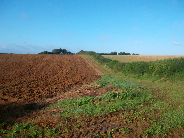
Image: © Des Blenkinsopp Taken: 28 Aug 2012
This track continues south west from a meeting of paths, but doesn't look to be a right of way. The hedge is the boundary between Sherborne and Castleton parishes.
Images are licensed for reuse under creativecommons.org/licenses/by-sa/2.0
Image Location


Leaflet Map data © OpenStreetMap
Latitude
50.952886
Longitude
-2.541074