Ringley Park Avenue
Introduction
The photograph on this page of Ringley Park Avenue by Ian Capper as part of the Geograph project.
The Geograph project started in 2005 with the aim of publishing, organising and preserving representative images for every square kilometre of Great Britain, Ireland and the Isle of Man.

There are currently over 7.5m images from over 14,400 individuals and you can help contribute to the project by visiting https://www.geograph.org.uk
Ringley Park Avenue
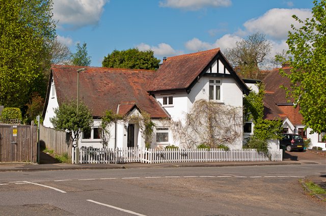
Image: © Ian Capper Taken: 12 May 2012
House in Ringley Park Avenue opposite its junction with The Chase (in the foreground). Old maps suggest it was originally an outbuilding of Oak Lodge, a large house in Blanford Road dating from 1897. The footpath on the left runs behind the rear gardens of Blanford Road and Waterlow Road and is part of an old route that connected Cockshot Hill with Shaws Corner, now variously footpaths and roads, including The Chase (see also Image, Image,Image,Image, Image and Image).
Images are licensed for reuse under creativecommons.org/licenses/by-sa/2.0
Image Location
Latitude
51.234081
Longitude
-0.187071