Towards Cocknage Wood and Florence Colliery
Introduction
The photograph on this page of Towards Cocknage Wood and Florence Colliery by Chris Beaver as part of the Geograph project.
The Geograph project started in 2005 with the aim of publishing, organising and preserving representative images for every square kilometre of Great Britain, Ireland and the Isle of Man.

There are currently over 7.5m images from over 14,400 individuals and you can help contribute to the project by visiting https://www.geograph.org.uk
Towards Cocknage Wood and Florence Colliery
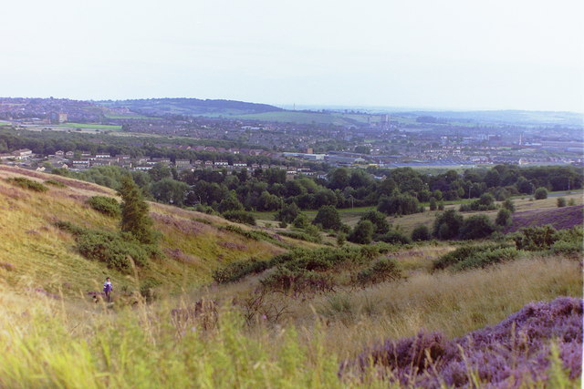
Image: © Chris Beaver Taken: Unknown
Taken from Parkhall Hills Country Park in the mid 1980's before the demolition of the Florence Pit concrete headgear building. Also visible far left is the 6-storey main block of Longton High School which was demolished in December 2011.
Images are licensed for reuse under creativecommons.org/licenses/by-sa/2.0
Image Location
Latitude
52.970067
Longitude
-2.129205