Blacksmiths Way houses, Coedkernew
Introduction
The photograph on this page of Blacksmiths Way houses, Coedkernew by Jaggery as part of the Geograph project.
The Geograph project started in 2005 with the aim of publishing, organising and preserving representative images for every square kilometre of Great Britain, Ireland and the Isle of Man.

There are currently over 7.5m images from over 14,400 individuals and you can help contribute to the project by visiting https://www.geograph.org.uk
Blacksmiths Way houses, Coedkernew
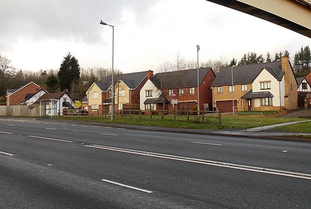
Image: © Jaggery Taken: 21 Dec 2012
The houses are at the SW end of Blacksmiths Way, viewed across the A48. Part of this http://www.geograph.org.uk/photo/3267779 footbridge is in the upper right corner of the view.
Images are licensed for reuse under creativecommons.org/licenses/by-sa/2.0
Image Location
Latitude
51.55467
Longitude
-3.051288