Approaching Tidbury Green
Introduction
The photograph on this page of Approaching Tidbury Green by Stephen McKay as part of the Geograph project.
The Geograph project started in 2005 with the aim of publishing, organising and preserving representative images for every square kilometre of Great Britain, Ireland and the Isle of Man.

There are currently over 7.5m images from over 14,400 individuals and you can help contribute to the project by visiting https://www.geograph.org.uk
Approaching Tidbury Green
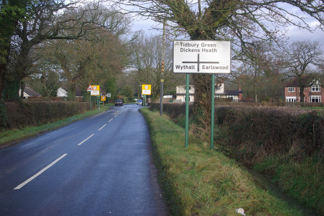
Image: © Stephen McKay Taken: 21 Dec 2012
Looking along Fulford Hall Road towards its junction with Norton Lane.
Images are licensed for reuse under creativecommons.org/licenses/by-sa/2.0
Image Location
Latitude
52.375832
Longitude
-1.855118