The A48 in Coedkernew one mile east of Castleton
Introduction
The photograph on this page of The A48 in Coedkernew one mile east of Castleton by Jaggery as part of the Geograph project.
The Geograph project started in 2005 with the aim of publishing, organising and preserving representative images for every square kilometre of Great Britain, Ireland and the Isle of Man.

There are currently over 7.5m images from over 14,400 individuals and you can help contribute to the project by visiting https://www.geograph.org.uk
The A48 in Coedkernew one mile east of Castleton
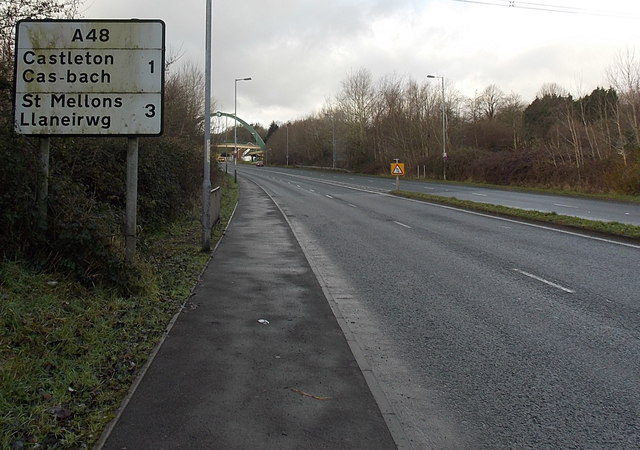
Image: © Jaggery Taken: 21 Dec 2012
A view west along the A48. A distinctive footbridge http://www.geograph.org.uk/photo/3267779 is in the background.
Images are licensed for reuse under creativecommons.org/licenses/by-sa/2.0
Image Location
Latitude
51.554616
Longitude
-3.047248