Canterbury Grove
Introduction
The photograph on this page of Canterbury Grove by Stephen Richards as part of the Geograph project.
The Geograph project started in 2005 with the aim of publishing, organising and preserving representative images for every square kilometre of Great Britain, Ireland and the Isle of Man.

There are currently over 7.5m images from over 14,400 individuals and you can help contribute to the project by visiting https://www.geograph.org.uk
Canterbury Grove
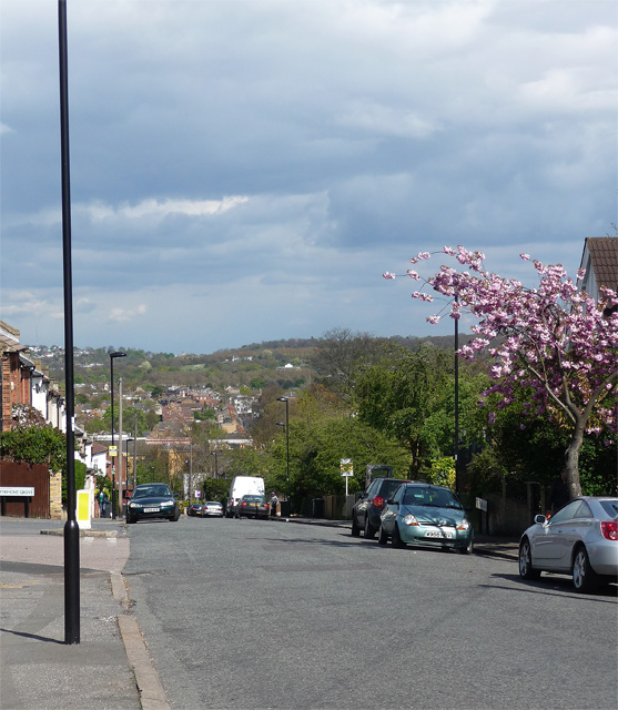
Image: © Stephen Richards Taken: 21 Apr 2012
The road descends towards Norwood Road, although it is interrupted by the railway which is crossed only by a footbridge. The distant woods might be near Dulwich golf course.
Images are licensed for reuse under creativecommons.org/licenses/by-sa/2.0
Image Location
Latitude
51.433081
Longitude
-0.108522