Sea View, Cefn Cribwr
Introduction
The photograph on this page of Sea View, Cefn Cribwr by Jaggery as part of the Geograph project.
The Geograph project started in 2005 with the aim of publishing, organising and preserving representative images for every square kilometre of Great Britain, Ireland and the Isle of Man.

There are currently over 7.5m images from over 14,400 individuals and you can help contribute to the project by visiting https://www.geograph.org.uk
Sea View, Cefn Cribwr
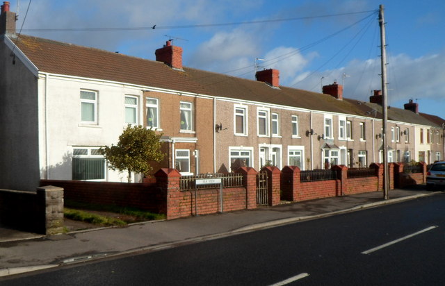
Image: © Jaggery Taken: 7 Dec 2012
Sea View is a long row of houses on the north side of the B4281, the main road through the village. Though the houses are about 6km from the sea, the elevation here is about 125 metres above mean sea level and there are no houses on the opposite side of the road to block the view of the Bristol Channel.
Images are licensed for reuse under creativecommons.org/licenses/by-sa/2.0
Image Location
Latitude
51.531727
Longitude
-3.659449