Wetland, Mount Stewart
Introduction
The photograph on this page of Wetland, Mount Stewart by Richard Webb as part of the Geograph project.
The Geograph project started in 2005 with the aim of publishing, organising and preserving representative images for every square kilometre of Great Britain, Ireland and the Isle of Man.

There are currently over 7.5m images from over 14,400 individuals and you can help contribute to the project by visiting https://www.geograph.org.uk
Wetland, Mount Stewart
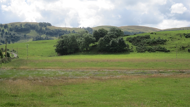
Image: © Richard Webb Taken: 30 Jul 2012
A shallow pool or flooded area beneath the Ochil Hills. Given the recent rainfall, it is hard to tell if this is a normal feature or flooding.
Images are licensed for reuse under creativecommons.org/licenses/by-sa/2.0
Image Location
Latitude
56.344986
Longitude
-3.447145