Path to Trehafren Park
Introduction
The photograph on this page of Path to Trehafren Park by Bill Boaden as part of the Geograph project.
The Geograph project started in 2005 with the aim of publishing, organising and preserving representative images for every square kilometre of Great Britain, Ireland and the Isle of Man.

There are currently over 7.5m images from over 14,400 individuals and you can help contribute to the project by visiting https://www.geograph.org.uk
Path to Trehafren Park
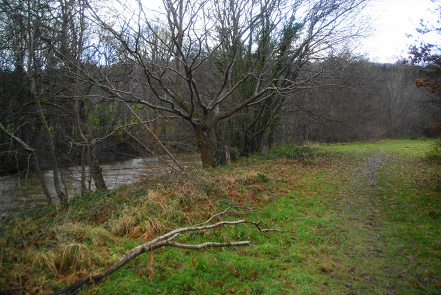
Image: © Bill Boaden Taken: 15 Dec 2012
The path follows the River Severn to the heart of Newtown, though a better path runs slightly further away from the river.
Images are licensed for reuse under creativecommons.org/licenses/by-sa/2.0
Image Location
Latitude
52.510183
Longitude
-3.332989