Railway line to Manor Park
Introduction
The photograph on this page of Railway line to Manor Park by David Anstiss as part of the Geograph project.
The Geograph project started in 2005 with the aim of publishing, organising and preserving representative images for every square kilometre of Great Britain, Ireland and the Isle of Man.

There are currently over 7.5m images from over 14,400 individuals and you can help contribute to the project by visiting https://www.geograph.org.uk
Railway line to Manor Park
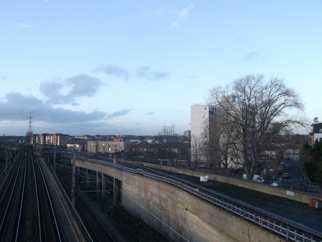
Image: © David Anstiss Taken: 16 Dec 2012
As seen from the footbridge between North Street and Loxford Road. The lines on the left carry the District Line to East Ham (tube-line), the line to Woodgrange Park (the Overground Line), and the railway line to Fenchurch Street. The line on the right carries the High Speed link to Stratford.
Images are licensed for reuse under creativecommons.org/licenses/by-sa/2.0
Image Location
Latitude
51.542301
Longitude
0.074685