Tivoli Park
Introduction
The photograph on this page of Tivoli Park by Stephen Richards as part of the Geograph project.
The Geograph project started in 2005 with the aim of publishing, organising and preserving representative images for every square kilometre of Great Britain, Ireland and the Isle of Man.

There are currently over 7.5m images from over 14,400 individuals and you can help contribute to the project by visiting https://www.geograph.org.uk
Tivoli Park
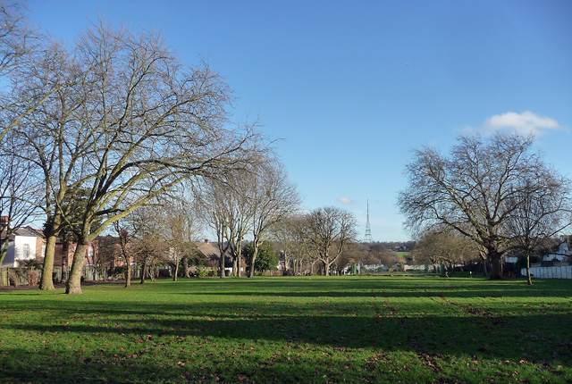
Image: © Stephen Richards Taken: 16 Dec 2012
Quite a small rectangle of grass, some trees (mostly planes) and a playground, bounded by Dassett Road (N), Tivoli Road (E), Furneaux Avenue (S) and Knight's Hill (W). A Lambeth Council sign records that it was formed from part of the grounds of Holderness House, built in 1839 and demolished in 1919. The Norwood Society has some gossip: apparently it was so ugly that the owner of Portobello House opposite planted a belt of evergreen trees to hide it from his view. The Crystal Palace television mast soars in the distance.
Images are licensed for reuse under creativecommons.org/licenses/by-sa/2.0
Image Location
Latitude
51.424831
Longitude
-0.104404