Footpath to Wormshill
Introduction
The photograph on this page of Footpath to Wormshill by Penny Mayes as part of the Geograph project.
The Geograph project started in 2005 with the aim of publishing, organising and preserving representative images for every square kilometre of Great Britain, Ireland and the Isle of Man.

There are currently over 7.5m images from over 14,400 individuals and you can help contribute to the project by visiting https://www.geograph.org.uk
Footpath to Wormshill
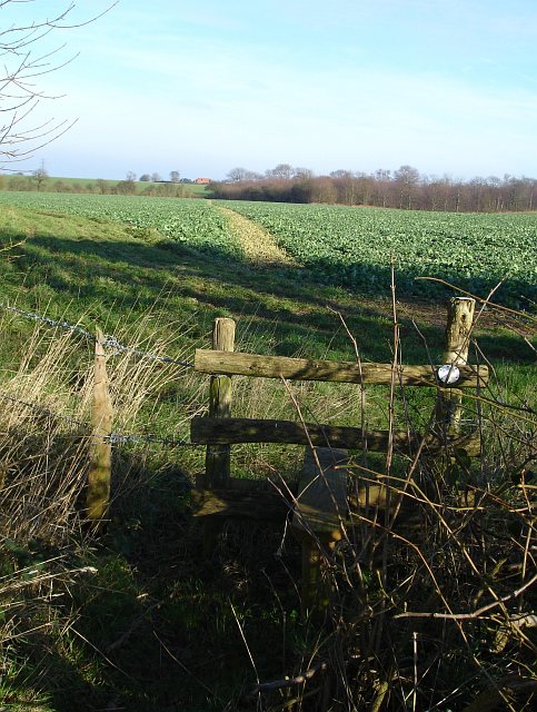
Image: © Penny Mayes Taken: 31 Jan 2007
From the junction of Drake Lane with Ringlestone Road http://www.geograph.org.uk/photo/326510 . As with most local footpaths the farmer has made a clear route through his rape crop. Stock Wood is on the right.
Images are licensed for reuse under creativecommons.org/licenses/by-sa/2.0
Image Location
Latitude
51.272094
Longitude
0.675845