Keynsham Road houses, Willsbridge
Introduction
The photograph on this page of Keynsham Road houses, Willsbridge by Jaggery as part of the Geograph project.
The Geograph project started in 2005 with the aim of publishing, organising and preserving representative images for every square kilometre of Great Britain, Ireland and the Isle of Man.

There are currently over 7.5m images from over 14,400 individuals and you can help contribute to the project by visiting https://www.geograph.org.uk
Keynsham Road houses, Willsbridge
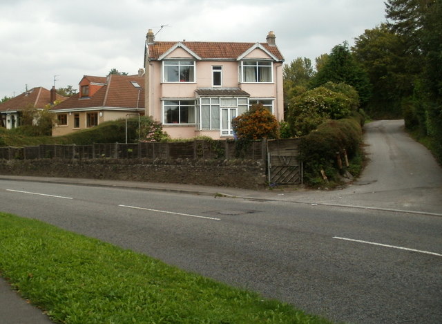
Image: © Jaggery Taken: 3 Sep 2011
The houses are in the south of the village, about 250 metres south of the A431 Bath Road junction.
Images are licensed for reuse under creativecommons.org/licenses/by-sa/2.0
Image Location


Leaflet Map data © OpenStreetMap
Latitude
51.429093
Longitude
-2.481667