The Monarch's Way, Forest of Avon Community Forest Path. Keynsham
Introduction
The photograph on this page of The Monarch's Way, Forest of Avon Community Forest Path. Keynsham by Jaggery as part of the Geograph project.
The Geograph project started in 2005 with the aim of publishing, organising and preserving representative images for every square kilometre of Great Britain, Ireland and the Isle of Man.

There are currently over 7.5m images from over 14,400 individuals and you can help contribute to the project by visiting https://www.geograph.org.uk
The Monarch's Way, Forest of Avon Community Forest Path. Keynsham
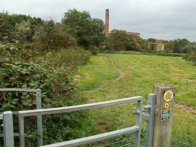
Image: © Jaggery Taken: 3 Sep 2011
The name given in the title of this view is the one shown on the wooden post at the kissing gate to a path on the north side of Keynsham Lock http://www.geograph.org.uk/photo/3264282 on the Kennet and Avon Canal. Another notice on the post asks you to keep your dog on a lead and keep to the path. The chimney is at the southern edge of the former Cadbury's (originally Fry's) Somerdale factory.
Images are licensed for reuse under creativecommons.org/licenses/by-sa/2.0
Image Location
Latitude
51.4223
Longitude
-2.493533