Raised beach
Introduction
The photograph on this page of Raised beach by Richard Webb as part of the Geograph project.
The Geograph project started in 2005 with the aim of publishing, organising and preserving representative images for every square kilometre of Great Britain, Ireland and the Isle of Man.

There are currently over 7.5m images from over 14,400 individuals and you can help contribute to the project by visiting https://www.geograph.org.uk
Raised beach
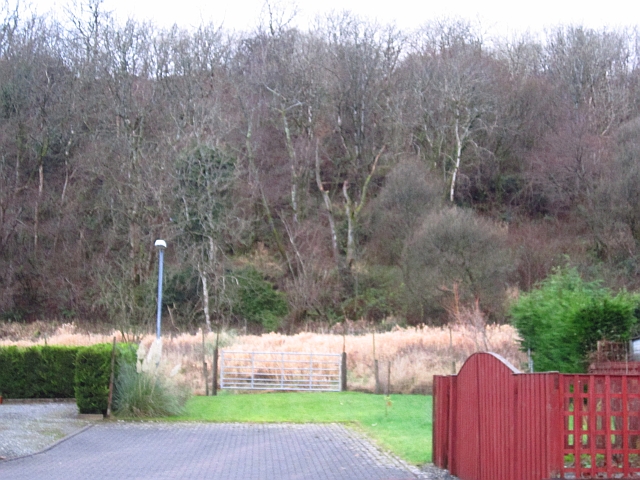
Image: © Richard Webb Taken: 15 Dec 2012
The raised beach between Innellen and Toward is now occupied by Hazel Gardens, houses built since the last 1:25,000 map revision.
Images are licensed for reuse under creativecommons.org/licenses/by-sa/2.0
Image Location


Leaflet Map data © OpenStreetMap
Latitude
55.878399
Longitude
-4.975439