Ground beneath a Cedar of Lebanon, Myton Road
Introduction
The photograph on this page of Ground beneath a Cedar of Lebanon, Myton Road by Robin Stott as part of the Geograph project.
The Geograph project started in 2005 with the aim of publishing, organising and preserving representative images for every square kilometre of Great Britain, Ireland and the Isle of Man.

There are currently over 7.5m images from over 14,400 individuals and you can help contribute to the project by visiting https://www.geograph.org.uk
Ground beneath a Cedar of Lebanon, Myton Road
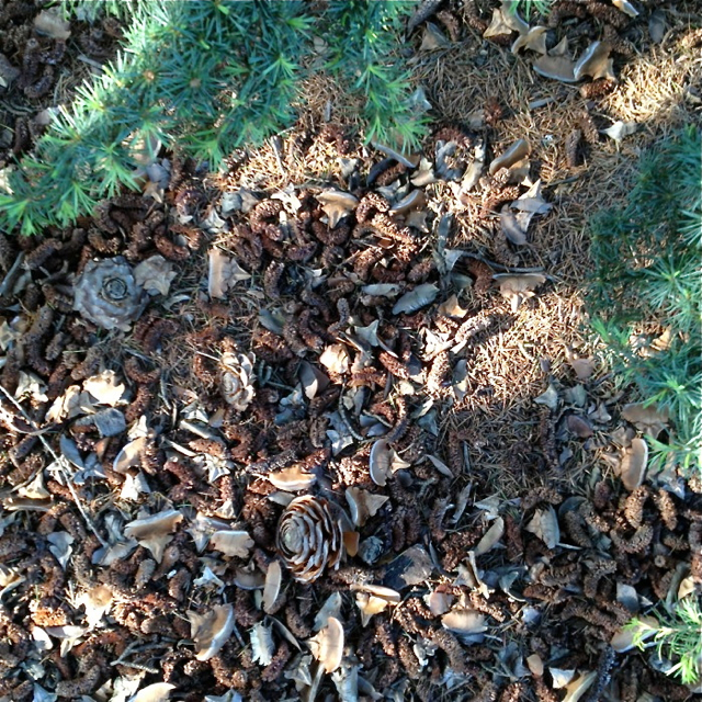
Image: © Robin Stott Taken: 22 May 2012
Cones, cone scales, fallen needles and live shoots are visible. Sadly, I can't attach the scent of the cedar to the photo. The tree is seen in Image
Images are licensed for reuse under creativecommons.org/licenses/by-sa/2.0
Image Location
Latitude
52.281175
Longitude
-1.565634